During two different expeditions in 1831 and 1834, Henry Schoolcraft described the Namekagon River, the surrounding vegetation, and 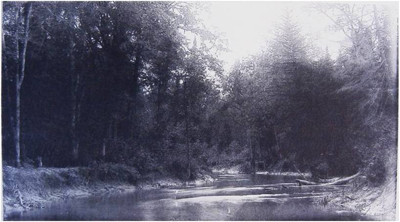 animal species. Upon reaching the Namekagon from the northern portage, near the present town of Cable, Schoolcraft described the river at the portage as being about seventy-five feet wide, with the deepest parts not exceeding eighteen inches. He described the banks of the river as being covered with large pines, hardwood, and spruce. He noted that his men had to get out and lift the canoes at rapids above Pacwawong, float the kegs of food downstream, and carry bags from the canoes over the worst shallows. Schoolcraft also tells us that the banks of the Namekagon were covered with blueberries along with cicuta plant and fox grape. During the July, 1831 expedition, Schoolcraft noted the abundance of brook trout in the Namekagon River caught and eaten by the explorers upstream of Pacwawong, which is near the present town of Cable. This critical observation informs that brook trout inhabited the main channel during the hottest month of the year. Long-term temperature records from Fort Snelling, MN confirm that 1831 was a normal year for temperature.
Joseph Nicollet described the Namekagon River in August of 1837 as being navigable throughout its entire course and favored course of travel for the local people. At this time, both the Namekagon and St. Croix Rivers had boulder obstacles and rapids that required wading to push the canoe or portage.
A few years after those expeditions, the United States government sent geologic surveyors to assess water resources for navigation purposes. In 1852, David Dale Owen, a geologist working for the U.S. government, described the Namekagon River as having thin,  sandy, and gravelly banks with streambed consisting of rocks from the size of small pebbles to boulders the size of a half bushel. Owen noted that above Pacwawong Lake, numerous boulders of half bushel size inhibited navigation of the river. In 1880, the Report of the Secretary of War described the Upper Namekagon as generally narrow with frequent stretches of rapids over native trap rock with several falls from 2 to 4 feet. The report described the banks of the river as being high with pine, hemlock and birch throughout the riparian zone.
Descriptive reports provide a mental picture of what the Namekagon River may have looked like before logging occurred, but most of this evidence is anecdotal and cannot be confirmed without trusting the source, finding multiple sources, or measuring past habitat conditions. Our most reliable historical information for describing past habitat conditions is from the public land surveys conducted by the United States General Land Office in Wisconsin from 1832 to 1866. Surveyors employed by the General Land Office conducted township surveys on the Upper Namekagon River between 1855 and 1858. These surveys include important notes for describing a pre-logging landscape along the Namekagon River, including tree species, cedar swamps, soil quality, location of lakes, and river widths and depths.
You Are Here:
Home > History by Era > European Settlement